Mount
Baldy Road
 |
 |
 |
||||||||||||||||||||||
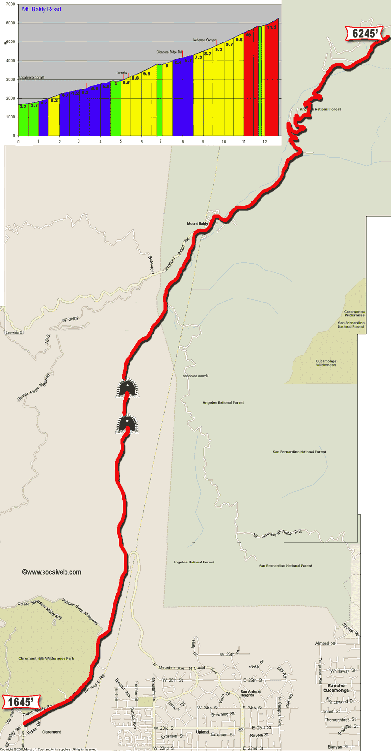
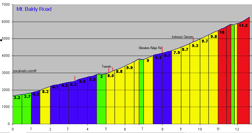
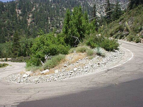
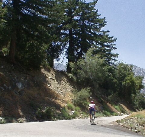
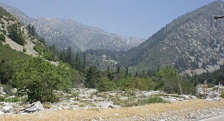
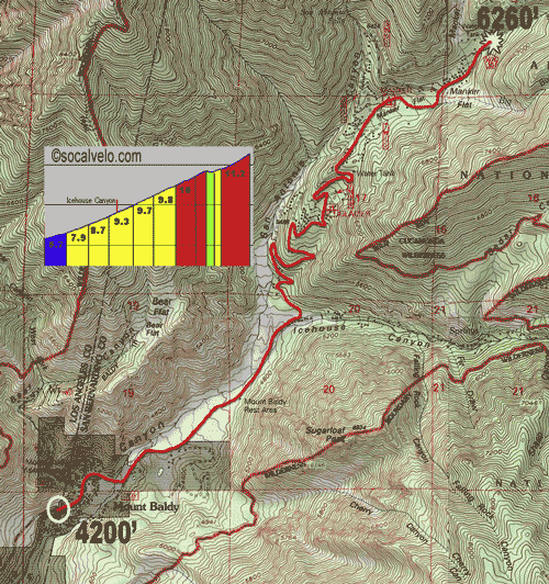
The Mount Baldy climb is one of the most difficult in the LA Area with 4600 feet of climbing in 13 miles. The last five miles are extremely steep with an average of over 8% and some 15% sections. Start: Mills Road and Mt. Baldy Rd. in Claremont. This climb can be described in two sections - like Palomar Mountain. The first section is eight miles to the intersection with Glendora Mountain Road with a 6% average. The harder part starts here with 4.6 miles of climbing at an average of 8.6%. The road surface on the top part is very poor with very tight switchbacks.
|
||||||||||||||||||||||||
 |
||||||||||||||||||||||||
| Mt. Baldy Profile - Large |
|
|||||||||||||||||||||||
| Map - Entire Climb | ||||||||||||||||||||||||
| Map - Top Section (topographic) | ||||||||||||||||||||||||
| GMR to Mount Baldy Ski Area Map | ||||||||||||||||||||||||
| GMR - Mt. Baldy Loop Profile | ||||||||||||||||||||||||
|
Directions: From the I-210 |
||||||||||||||||||||||||
 |
 |
|||||||||||||||||||||||
|
|
||||||||||||||||||||||||
| ©socalvelo.com 2004 | ||||||||||||||||||||||||